Image
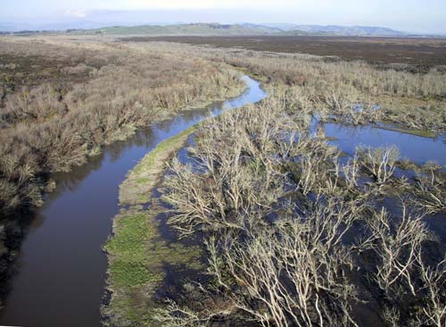
The Whangamarino Wetland is the largest in the North Island, and is of international significance. Covering 7,290 hectares between Meremere and Te Kauwhata, it includes peat bog, swamps and river. Several threatened species, including wetland birds, fish, and plants, can be found there. It is managed by the Department of Conservation.
Te whakamahi i tēnei tūemi
This item has been provided for private study purposes (such as school projects, family and local history research) and any published reproduction (print or electronic) may infringe copyright law. It is the responsibility of the user of any material to obtain clearance from the copyright holder.