-
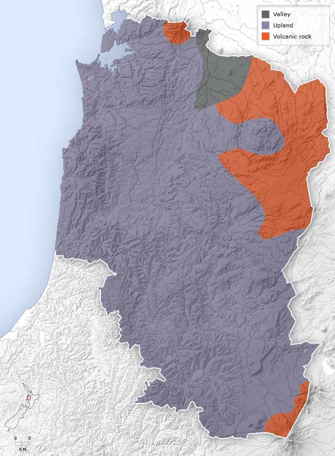
Landforms
-
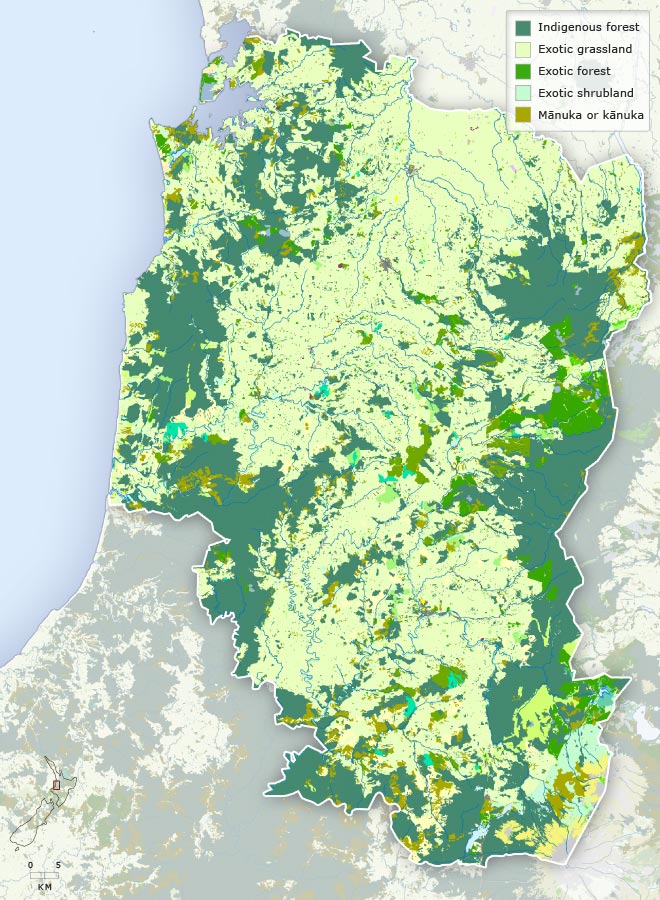
Vegetation
-
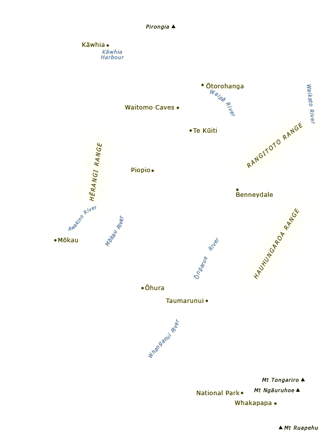
Place names
-
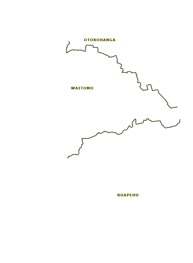
Districts
-
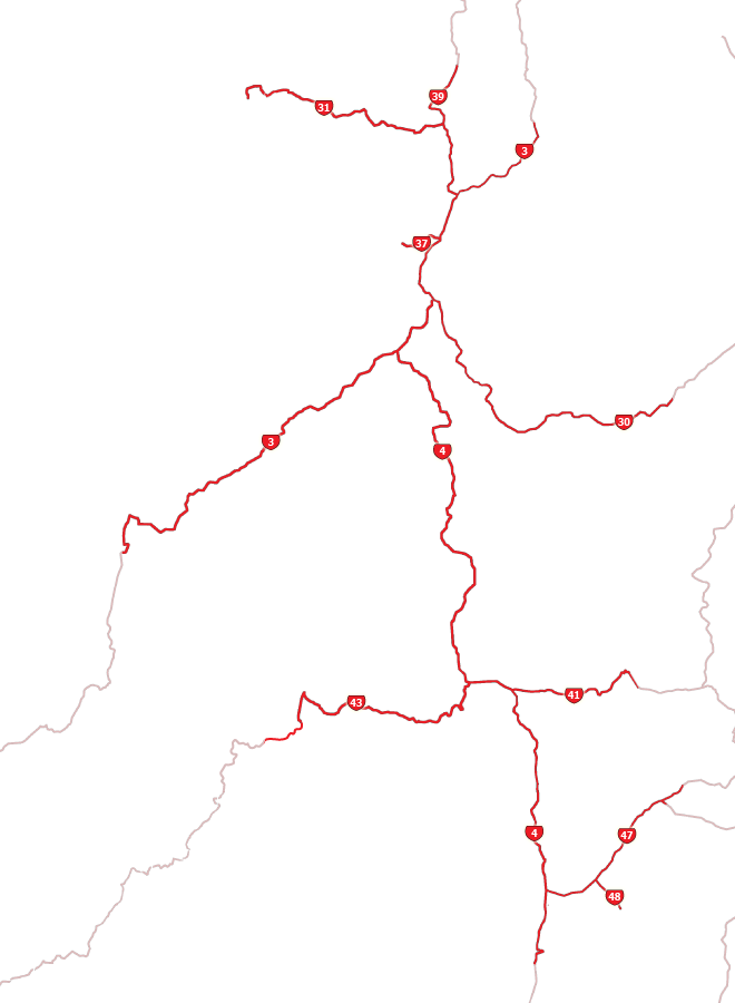
Highways
This map shows the major landforms of the King Country – the predominant uplands, the volcanic rock to the north, north-east and south-east, and the Waipā valley in the north.
Te whakamahi i tēnei tūemi
Te Ara - The Encyclopedia of New Zealand
This item has been provided for private study purposes (such as school projects, family and local history research) and any published reproduction (print or electronic) may infringe copyright law. It is the responsibility of the user of any material to obtain clearance from the copyright holder.