Image
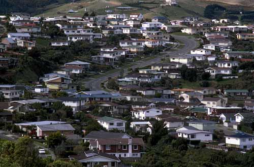
Maungaraki was largely developed by the Lower Hutt City Council in the 1960s for private housing. Hilltops were cut and valleys filled to create gentler sloping land. Suburban development continues on the hills above the settlement.
Te whakamahi i tēnei tūemi
Private collection
by Chris Maclean
This item has been provided for private study purposes (such as school projects, family and local history research) and any published reproduction (print or electronic) may infringe copyright law. It is the responsibility of the user of any material to obtain clearance from the copyright holder.
Comments
08 June 2023