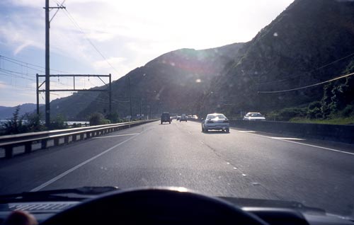
The 1855 Wairarapa earthquake raised a narrow rock platform around the western edge of Wellington Harbour. This was used to create the Hutt Road, between Wellington and Petone. Over time the road has been widened and a railway built on the seaward side. This south-looking view shows the road at Horokiwi. The Wellington Fault runs along the base of the hills.
Te whakamahi i tēnei tūemi
Private collection
by Chris Maclean
This item has been provided for private study purposes (such as school projects, family and local history research) and any published reproduction (print or electronic) may infringe copyright law. It is the responsibility of the user of any material to obtain clearance from the copyright holder.