Image
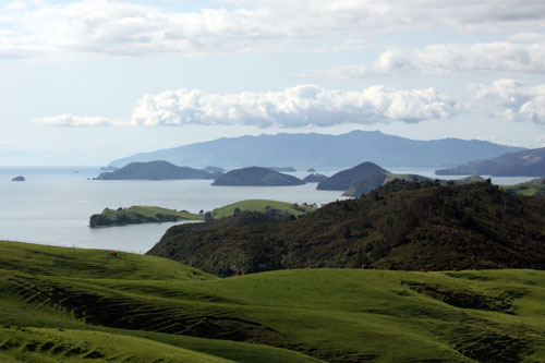
Whanganui Island, in the middle distance, lies on the northern side of Coromandel Harbour. The inshore islands are a by-product of glaciation. During the ice age tens of thousands of years ago sea levels were lower than at present; with the end of the ice age sea levels rose and coastal features became islands. The Moehau Range, 892 m at its highest point, is in the distance.
Te whakamahi i tēnei tūemi
Te Ara - The Encyclopedia of New Zealand
by Janine Faulknor
This item has been provided for private study purposes (such as school projects, family and local history research) and any published reproduction (print or electronic) may infringe copyright law. It is the responsibility of the user of any material to obtain clearance from the copyright holder.