Image
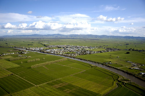
The Piako River flows past the township of Ngātea on the Hauraki Plains. The flat, fertile plains have been enriched by alluvial muds, sands and gravels deposited up to 20,000 years ago by the Waikato River before its course changed, and more recently by the Piako and Waihou rivers.
Te whakamahi i tēnei tūemi
This item has been provided for private study purposes (such as school projects, family and local history research) and any published reproduction (print or electronic) may infringe copyright law. It is the responsibility of the user of any material to obtain clearance from the copyright holder.