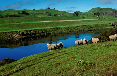
New Zealand’s longest river, the Waikato, flows 425 kilometres from the eastern flank of Mt Tongariro to the Tasman Sea at Port Waikato. It passes through the flat, fertile plains of the Waikato lowland, shown here. The river plains and terraces are mainly formed from pumice, carried down the river after the major eruptions in Lake Taupō, about 1,800 and 26,500 years ago.
Te whakamahi i tēnei tūemi
Natural Sciences Image Library of New Zealand
Reference:
Go14485Rbt.jpg
Photograph by G. R. Roberts
This item has been provided for private study purposes (such as school projects, family and local history research) and any published reproduction (print or electronic) may infringe copyright law. It is the responsibility of the user of any material to obtain clearance from the copyright holder.


Tāpiritia te tākupu hou