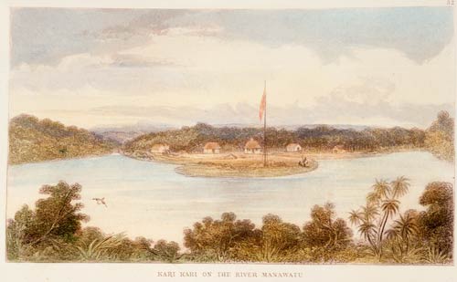
In 1847 Samuel Brees drew this picture of European houses on the Manawatū River, downstream from Moutoa. The buildings were for a survey party working in the district.
Using this item
Alexander Turnbull Library
Reference:
A-109-029
Hand-coloured engraving after a drawing by Samuel Charles Brees
Permission of the Alexander Turnbull Library, National Library of New Zealand, Te Puna Mātauranga o Aotearoa, must be obtained before any re-use of this image.


Add new comment