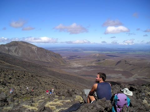
A popular day tramp in Tongariro National Park, the Tongariro Crossing is a 17-kilometre route which climbs from the Mangatepopo Valley (1,100 metres above sea level) to the South Crater between Ngāuruhoe and Tongariro, then to the high point of 1,886 metres at the Red Crater. The descent takes hikers past the Emerald and Blue lakes and the Ketetahi springs. This is the South Crater, with the Mangatepopo Valley in the distance.
Te whakamahi i tēnei tūemi
This item has been provided for private study purposes (such as school projects, family and local history research) and any published reproduction (print or electronic) may infringe copyright law. It is the responsibility of the user of any material to obtain clearance from the copyright holder.