Image
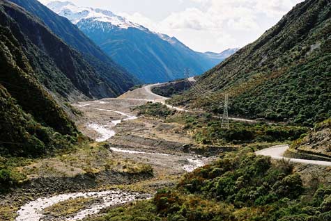
Arthur’s Pass, a route across the Southern Alps between the headwaters of the Ōtira and Bealey rivers, has a rugged grandeur. Marking the boundary between Canterbury and Westland, it has been used as a route to the West Coast by both Māori and Europeans. The road replaced a track in 1866, giving access to the West Coast goldfields.
Using this item
Private collection
by Simon Nathan
This item has been provided for private study purposes (such as school projects, family and local history research) and any published reproduction (print or electronic) may infringe copyright law. It is the responsibility of the user of any material to obtain clearance from the copyright holder.