
Kōrero: Whenua – how the land was shaped

Tongariro, Ngāuruhoe, Ruapehu

Image
Tongariro, Ngāuruhoe and Ruapehu

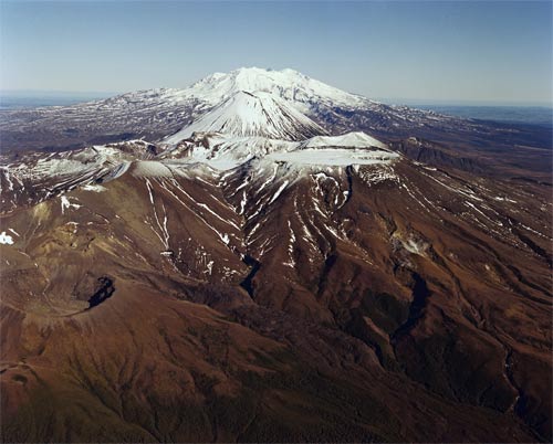
Ko Tongariro tērā kei mua. E ai ki ngā kōrero, ka pakanga ia ki ērā atu maunga. Ko tētahi o aua maunga, ko Ngāuruhoe, e tū mai rā ki muri i a Tongariro. Kei ētahi atu iwi te kōrero, ko Ruapehu te hoa wahine o Taranaki. Ka mahi puremu a Ruapehu me Tongariro.

Te whakamahi i tēnei tūemi

GNS Science

Reference: CN5312/14

by Lloyd Homer

Permission of GNS Science must be obtained before any use of this image.

Ngā whakaahua me ngā rauemi katoa o tēnei kōrero

Me pēnei te tohu i te whārang

Te Ahukaramū Charles Royal, Whenua – how the land was shaped – Battle of the mountains, Te Ara – the Encyclopedia of New Zealand, https://teara.govt.nz/mi/photograph/6731/tongariro-ngauruhoe-ruapehu (accessed 4 June 2026).

He kōrero nā Te Ahukaramū Charles Royal, i tāngia i te 2 March 2009.