Image
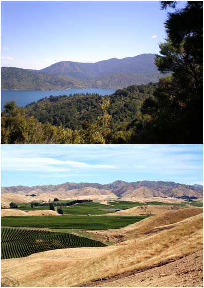
Northern Marlborough – the Sounds and the Richmond Range – gets more rainfall than the areas south of the Wairau River. The top image shows outer Queen Charlotte Sound, with plenty of forest cover, and the bottom image shows the baked-dry slopes of the Awatere valley.
Te whakamahi i tēnei tūemi
Private collection
by Marguerite Hill (top); Jock Phillips (bottom)
This item has been provided for private study purposes (such as school projects, family and local history research) and any published reproduction (print or electronic) may infringe copyright law. It is the responsibility of the user of any material to obtain clearance from the copyright holder.