Image
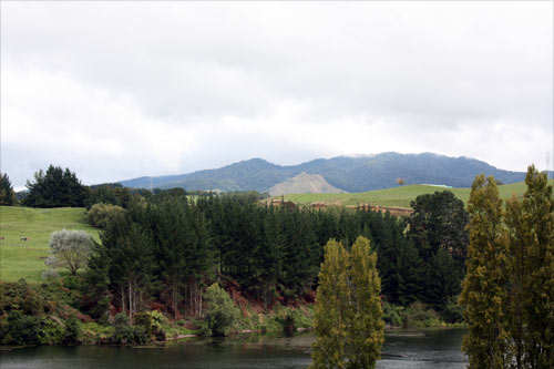
Maungatautari mountain, seen here from the east, is one of a number of old eroded volcanoes that encircle the middle Waikato basin. It has been an important place of habitation for centuries, and four Tainui tribes – Ngāti Raukawa, Ngāti Wairere, Ngāti Hauā and Ngāti Korokī – own land on the slopes.
Te whakamahi i tēnei tūemi
Te Ara - The Encyclopedia of New Zealand
by Janine Faulknor
This item has been provided for private study purposes (such as school projects, family and local history research) and any published reproduction (print or electronic) may infringe copyright law. It is the responsibility of the user of any material to obtain clearance from the copyright holder.