-
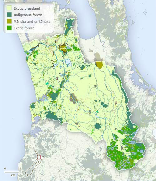
Vegetation
-
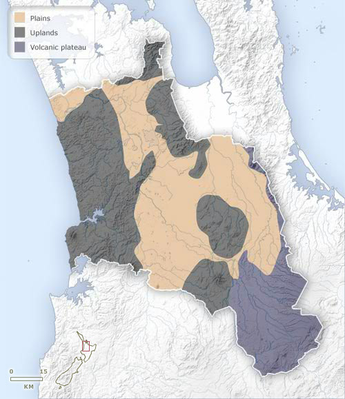
Landforms
-
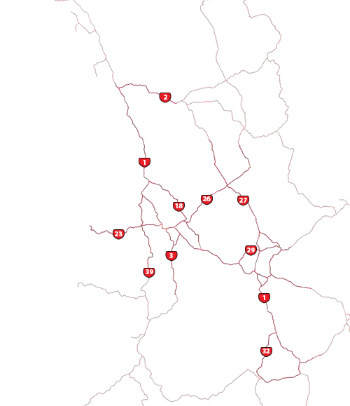
Highways
-
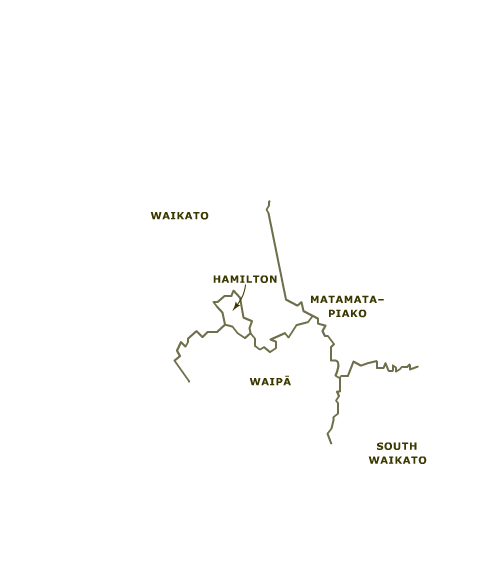
Districts
-
Place names
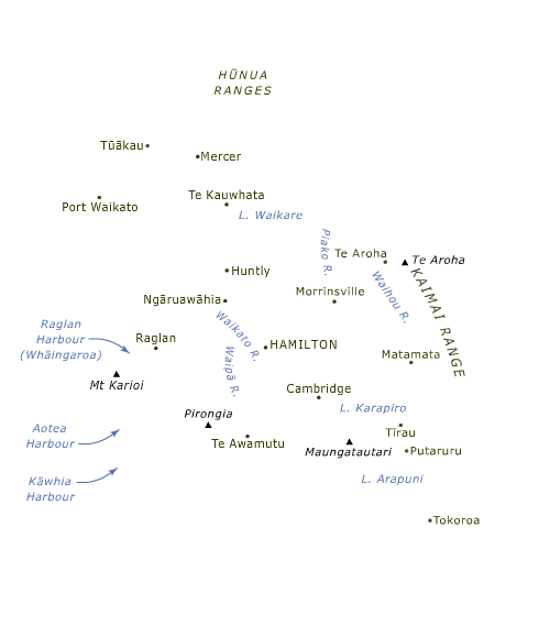
The alluvial basins of the Waikato, Waipā, Piako, Waitoa and Waihou rivers are the dominant landform in Waikato. Hill country separates the Waikato–Waipā lowland from the west coast. Smaller hills divide it from the Thames valley – the area drained by the Piako, Waitoa and Waihou rivers. In the south-east the region extends to the western edge of the Volcanic Plateau.
Te whakamahi i tēnei tūemi
Te Ara - The Encyclopedia of New Zealand
This item has been provided for private study purposes (such as school projects, family and local history research) and any published reproduction (print or electronic) may infringe copyright law. It is the responsibility of the user of any material to obtain clearance from the copyright holder.