Image
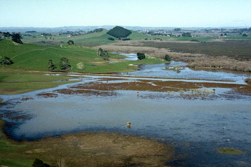
The Whangamarino wetland, in the Waikato region, is the North Island’s second largest wetland. With 5,923 hectares of peat bog, swamp, open water and river systems, it is an important habitat for some threatened plant, bird and fish species. Whangamarino is recognised as a wetland of international importance under the Ramsar Convention.
Te whakamahi i tēnei tūemi
Reference: 10051065
This item has been provided for private study purposes (such as school projects, family and local history research) and any published reproduction (print or electronic) may infringe copyright law. It is the responsibility of the user of any material to obtain clearance from the copyright holder.