Image
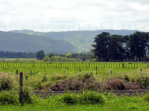
Wairarapa’s northern boundary is signalled by the Tararua wind farm, which stretches for more than 5 kilometres along the Tararua Range ridgeline. When it was built, it was the largest wind farm in the southern hemisphere.
Te whakamahi i tēnei tūemi
Te Ara - The Encyclopedia of New Zealand
by Shirley Williams
This item has been provided for private study purposes (such as school projects, family and local history research) and any published reproduction (print or electronic) may infringe copyright law. It is the responsibility of the user of any material to obtain clearance from the copyright holder.