Image
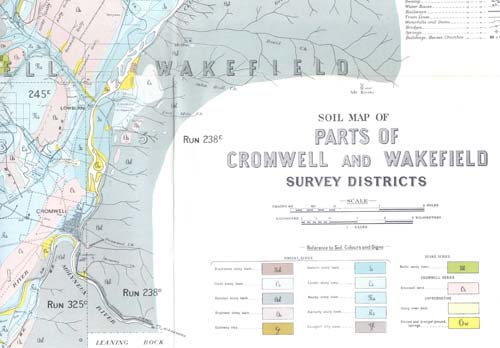
This is a section of a Central Otago soil map, completed by Ferrar and his team in a major survey made between 1926 and 1929. One outcome was to modify a proposed irrigation scheme, as it was shown that some soils were liable to become waterlogged, and salination (enrichment in salt) was likely in some areas.
Te whakamahi i tēnei tūemi
Source: H. T. Ferrar, ‘The soils of the irrigation areas in Central Otago.’ New Zealand Geological Survey Bulletin 33 (1929)
Permission of GNS Science must be obtained before any use of this image.