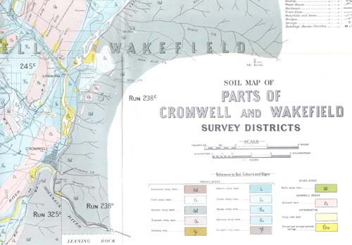
This is a section of a Central Otago soil map, completed by Ferrar and his team in a major survey made between 1926 and 1929. One outcome was to modify a proposed irrigation scheme, as it was shown that some soils were liable to become waterlogged, and salination (enrichment in salt) was likely in some areas.
Using this item
Permission of GNS Science must be obtained before any use of this image.
Source: H. T. Ferrar, ‘The soils of the irrigation areas in Central Otago.’ New Zealand Geological Survey Bulletin 33 (1929)


Add new comment