-
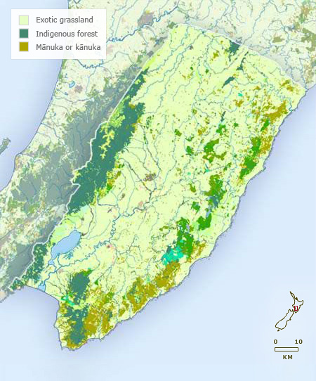
Vegetation
-
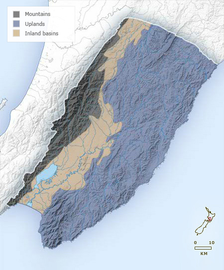
Landforms
-
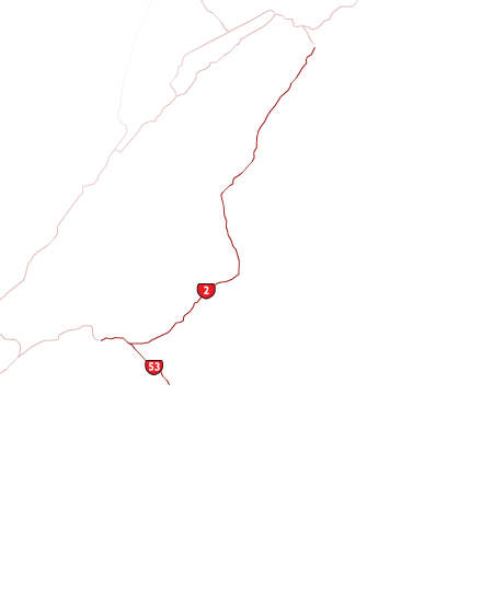
Highways
-
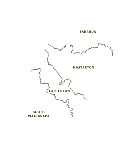
Districts
-
Place names
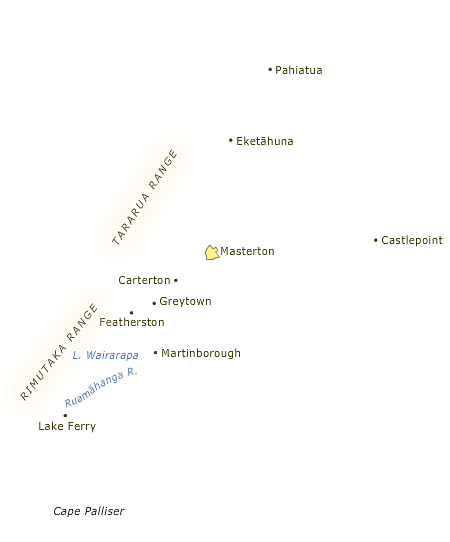
Wairarapa occupies the south-east corner of the North Island. Its western boundary follows the highest ridge line of the Remutaka and Tararua ranges as far north as the Manawatū Gorge. The northern border runs east from the gorge to Cape Turnagain. Wairarapa is bordered by the coast to the south and east.
Te whakamahi i tēnei tūemi
Te Ara - The Encyclopedia of New Zealand
This item has been provided for private study purposes (such as school projects, family and local history research) and any published reproduction (print or electronic) may infringe copyright law. It is the responsibility of the user of any material to obtain clearance from the copyright holder.