Image
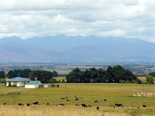
This view from 135-metre high Mt Stewart (Whakaari) looks south and east across productive farmland to the Tararua Range, the south-eastern boundary of the Manawatū region.
Using this item
Te Ara - The Encyclopedia of New Zealand
by Shirley Williams
This item has been provided for private study purposes (such as school projects, family and local history research) and any published reproduction (print or electronic) may infringe copyright law. It is the responsibility of the user of any material to obtain clearance from the copyright holder.