Image
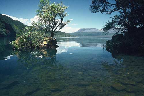
The largest of the lakes in the Okataina caldera, Lake Tarawera was formed about 5,000 years ago when drainage to the east was blocked by lava flows. This is the lake from the road-end just past Te Wairoa, looking across to the summit of Mt Tarawera, which erupted ferociously in June 1886.
Using this item
Reference: 10050460
by Chris Rudge
This item has been provided for private study purposes (such as school projects, family and local history research) and any published reproduction (print or electronic) may infringe copyright law. It is the responsibility of the user of any material to obtain clearance from the copyright holder.