Image
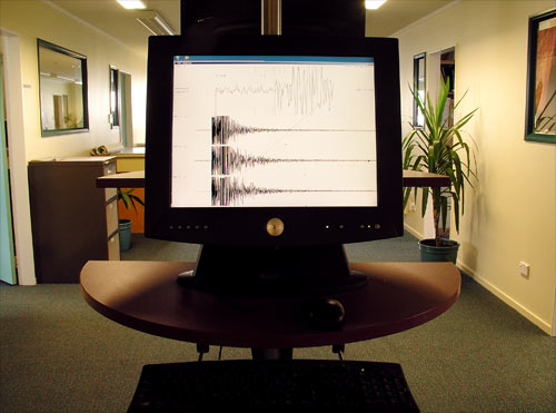
Earthquakes are displayed on computer screens as soon as they happen. This screen, at GeoNet headquarters in Lower Hutt, shows the effect of a magnitude 4.0 earthquake recorded at Makara, near Wellington, on 28 February 2005.
Te whakamahi i tēnei tūemi
Te Ara - The Encyclopedia of New Zealand
by Alastair McLean
This item has been provided for private study purposes (such as school projects, family and local history research) and any published reproduction (print or electronic) may infringe copyright law. It is the responsibility of the user of any material to obtain clearance from the copyright holder.