Image
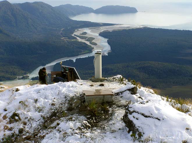
Seismic monitoring stations are used to accurately measure the location and magnitude of earthquakes. This photograph shows one of the more remote stations in the national seismic network – Thirsty Ridge, high in the mountains of South Westland. Jackson Bay is in the background. Technical Officer Dion Matheson is carrying out regular maintenance.
Te whakamahi i tēnei tūemi
Reference: GeoNet file photo
Permission of GNS Science must be obtained before any use of this image.