Image
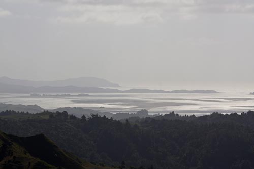
The main road to Kāwhia is State Highway 31, which climbs up hilly terrain before dropping down to the harbour. The harbour can be viewed from the higher points on the road, such as the rest area at Te Rauamoa.
Te whakamahi i tēnei tūemi
by Andy Palmer
This item has been provided for private study purposes (such as school projects, family and local history research) and any published reproduction (print or electronic) may infringe copyright law. It is the responsibility of the user of any material to obtain clearance from the copyright holder.