Image
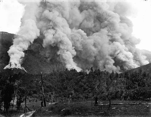
From the 1880s through to the 1930s large tracts of native forest in Poverty Bay and on the coast were felled or otherwise destroyed to make way for pasture. This bush burn at Puketora station inland from Waipiro Bay took place sometime between 1900 and 1920.
Te whakamahi i tēnei tūemi
Alexander Turnbull Library, R. P. Hargreaves Collection
Reference: 1/1-023274; G
by Frederick Ashby Hargreaves
Permission of the Alexander Turnbull Library, National Library of New Zealand, Te Puna Mātauranga o Aotearoa, must be obtained before any re-use of this image.