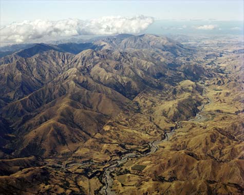
The Awatere Fault shows up clearly in this image. It shapes the course of the Awatere River, visible to its right. Along with the Wairau Fault (an extension of the Alpine Fault) and the Clarence and Kēkerengū faults, the Awatere Fault is symptomatic of the subduction of the Pacific Plate under the Australian Plate.
Te whakamahi i tēnei tūemi
GNS Science
Reference:
CN03947/9
Photograph by Lloyd Homer
Permission of GNS Science must be obtained before any use of this image.


Tāpiritia te tākupu hou