Image
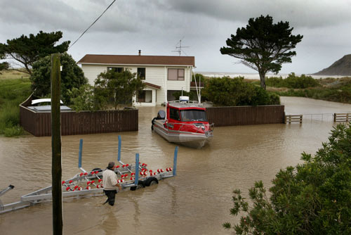
Severe storms and flooding hit the lower North Island in February 2004. Southern Hawke’s Bay was badly affected, the small coastal town of Pōrangahau worst of all. Most of the settlement was flooded and six families had to be evacuated.
Te whakamahi i tēnei tūemi
Reference: HBT040611-01.JPG
by Warren Buckland
This item has been provided for private study purposes (such as school projects, family and local history research) and any published reproduction (print or electronic) may infringe copyright law. It is the responsibility of the user of any material to obtain clearance from the copyright holder.