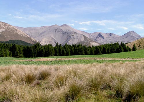
Geographer D. H. Ralph took this photograph in 2005, standing where the 1882 photograph had been taken so he could gauge the impact of European settlement on high-country vegetation. He concluded that there had been little change in vegetation cover on the Craigieburn Range, and erosion had not increased. On the lower slopes woody shrubs, in particular matagouri and coprosma species, have reappeared as burning became less frequent.
Te whakamahi i tēnei tūemi
Private collection
by David H. Relph
This item has been provided for private study purposes (such as school projects, family and local history research) and any published reproduction (print or electronic) may infringe copyright law. It is the responsibility of the user of any material to obtain clearance from the copyright holder.