-
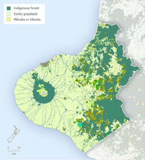
Vegetation
-
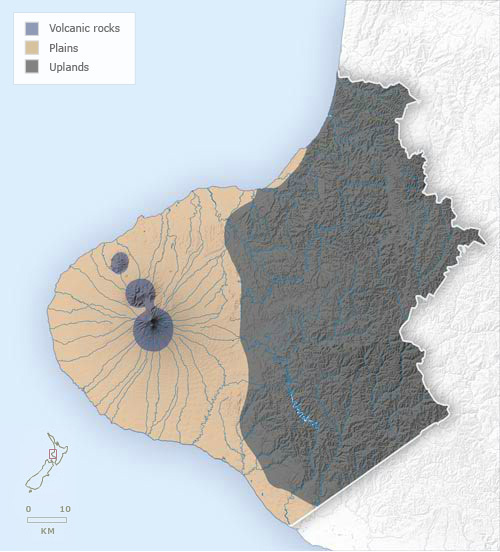
Landforms
-
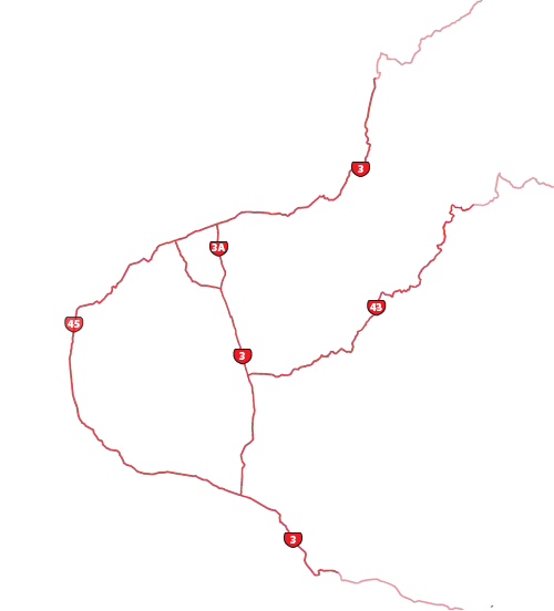
Highways
-
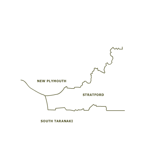
Districts
-
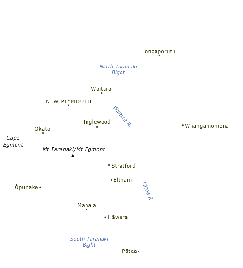
Place names
Taranaki’s vegetation cover has been heavily modified by humans, especially between the 1870s and the 1910s, when the bush that covered most of the ring plain around Taranaki Maunga was felled. Tracts of native forest remain on the lower slopes of the mountain, the outer limit forming the boundary of Te Papakura o Taranaki (formerly Egmont National Park). Indigenous forest is also found in the more rugged parts of the eastern uplands.
Te whakamahi i tēnei tūemi
Te Ara - The Encyclopedia of New Zealand
This item has been provided for private study purposes (such as school projects, family and local history research) and any published reproduction (print or electronic) may infringe copyright law. It is the responsibility of the user of any material to obtain clearance from the copyright holder.