-
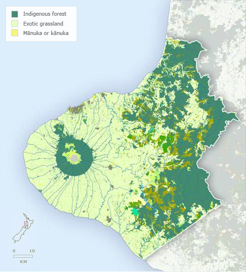
Vegetation
-
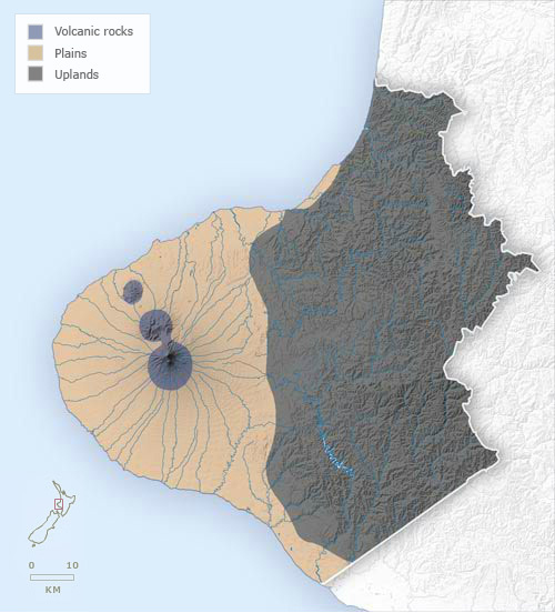
Landforms
-
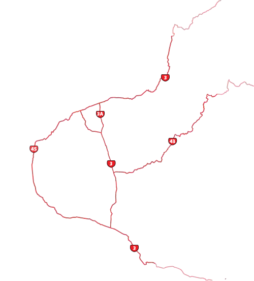
Highways
-
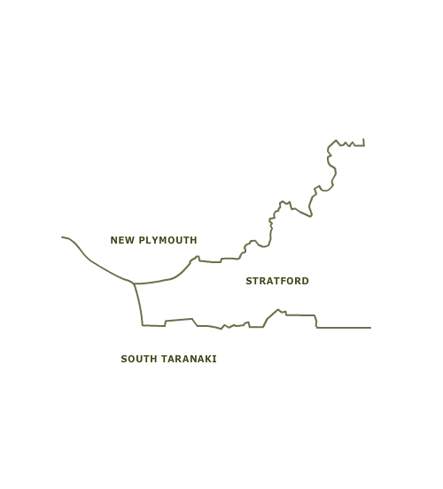
Districts
-
Place names
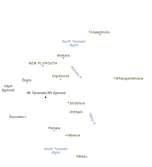
Taranaki is dominated by Taranaki Maunga and the ring plain that surrounds it, largely a product of eruptions from the mountain and its predecessors, Kaitake and Pouākai. The other main landscape features are the marine terraces of the northern and southern Taranaki coasts, a product of rising and falling sea levels, and the dissected hill country inland, which is part of a much larger expanse of hill country reaching into inland Whanganui and the King Country.
Te whakamahi i tēnei tūemi
Te Ara - The Encyclopedia of New Zealand
This item has been provided for private study purposes (such as school projects, family and local history research) and any published reproduction (print or electronic) may infringe copyright law. It is the responsibility of the user of any material to obtain clearance from the copyright holder.
Comments
12 November 2021