Click for photograph
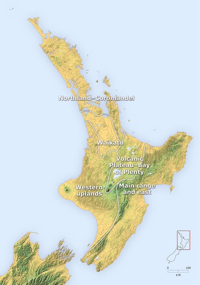
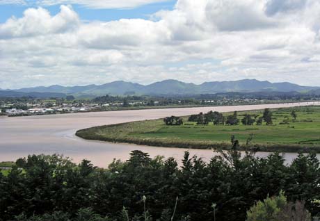
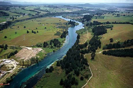
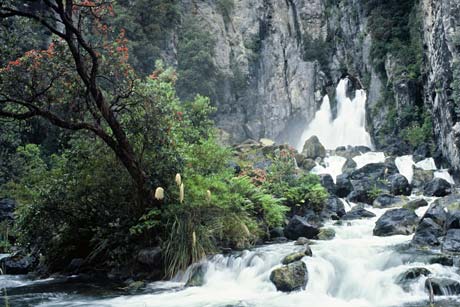
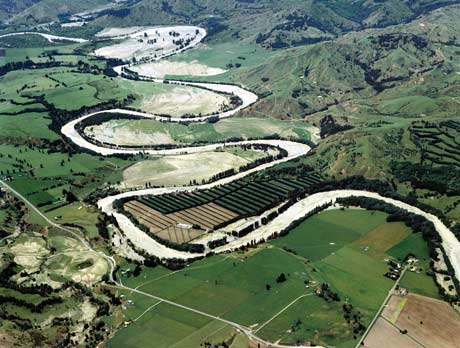
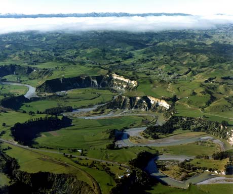
This map shows the five main North Island regions that have distinctive rivers: the Northland and Coromandel peninsulas, Waikato, the Volcanic Plateau and Bay of Plenty, around and east of the main dividing range, and the western uplands. Move your mouse over each region for a river image.
Te whakamahi i tēnei tūemi
Te Ara - The Encyclopedia of New Zealand
This item has been provided for private study purposes (such as school projects, family and local history research) and any published reproduction (print or electronic) may infringe copyright law. It is the responsibility of the user of any material to obtain clearance from the copyright holder.