-
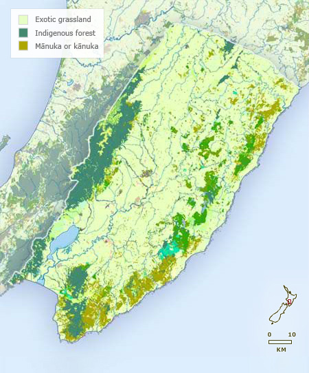
Vegetation
-
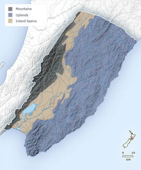
Landforms
-
Highways

-
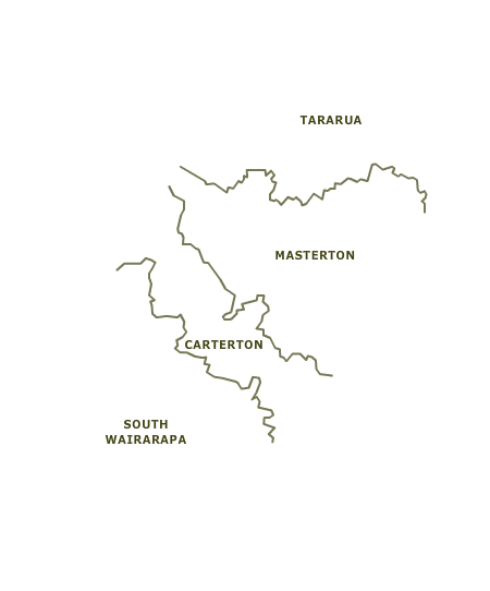
Districts
-
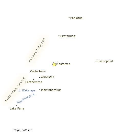
Place names
In 1840, only south Wairarapa had extensive grassland. Most of the region was covered in native forest, which was cleared for pastoralism from the mid-19th century. By the mid-20th century, forest was largely confined to mountainous areas.
Te whakamahi i tēnei tūemi
Te Ara - The Encyclopedia of New Zealand
This item has been provided for private study purposes (such as school projects, family and local history research) and any published reproduction (print or electronic) may infringe copyright law. It is the responsibility of the user of any material to obtain clearance from the copyright holder.