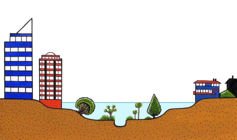
Areas likely to be flooded can be readily identified. With effective planning, buildings in flood-prone areas can be sited away from risk. This diagram shows how certain open-space activities can take place in high-risk areas, while building is restricted to areas that are unlikely to be flooded.
Te whakamahi i tēnei tūemi
Te Ara - The Encyclopedia of New Zealand
Source: N. J. Ericksen, Creating flood disasters? Wellington: Ministry of Works and Development, 1986, p. 103
This item has been provided for private study purposes (such as school projects, family and local history research) and any published reproduction (print or electronic) may infringe copyright law. It is the responsibility of the user of any material to obtain clearance from the copyright holder.