Image
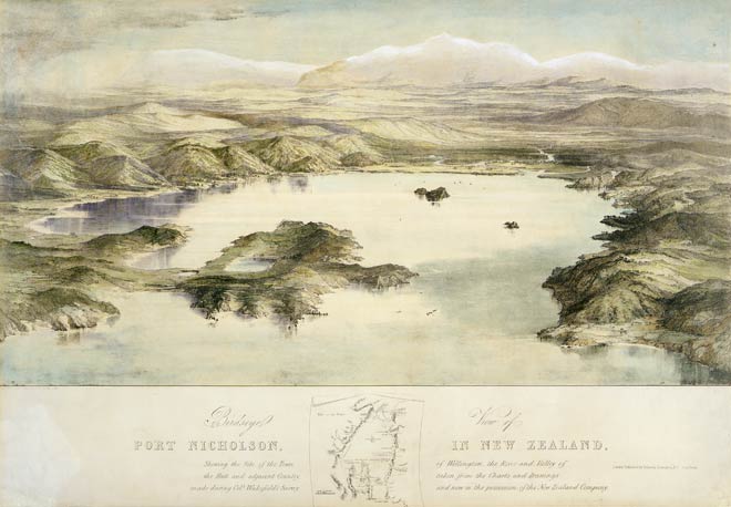
According to Māori tradition, Wellington Harbour once had a second entrance through the low area that now connects Miramar Peninsula (centre foreground) and the mainland. It was raised during an earthquake – probably in the 15th century – known to Māori as Haowhenua. This lithograph, published in 1842, illustrates the low-lying nature of the land around Miramar.
Te whakamahi i tēnei tūemi
Reference: C-029-006-b
by Charles Heaphy
Permission of the Alexander Turnbull Library, National Library of New Zealand, Te Puna Mātauranga o Aotearoa, must be obtained before any re-use of this image.