Image
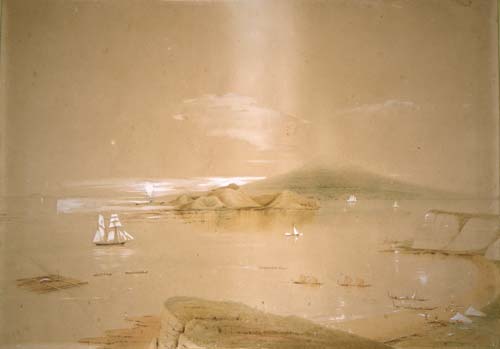
In this 1850s watercolour, Charles Heaphy shows how Auckland’s Waitematā Harbour is dominated by the volcanic island cone of Rangitoto. It emerged from the sea about 1400 CE. Browns Island (Motukorea), just to the left of Rangitoto, is also volcanic.
Te whakamahi i tēnei tūemi
Reference: C-025-013
by Charles Heaphy
Permission of the Alexander Turnbull Library, National Library of New Zealand, Te Puna Mātauranga o Aotearoa, must be obtained before any re-use of this image.