Image
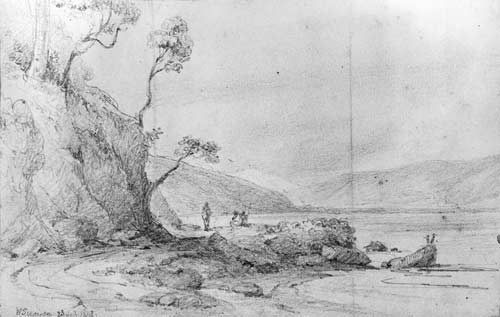
This 1848 drawing by William Swainson, in which a Māori is standing and two others are sitting, shows the track along the western side of Wellington Harbour. Thousands of Māori walking tracks were still being used at the time. After the 1855 earthquake raised the land west of the Wellington Fault, this traditional route, like many others, was transformed into a major road.
Te whakamahi i tēnei tūemi
Reference: A-187-030
by William Swainson
Permission of the Alexander Turnbull Library, National Library of New Zealand, Te Puna Mātauranga o Aotearoa, must be obtained before any re-use of this image.