Story: Geological exploration
Page 8. All images & media
From page 1 - Early European exploration
From page 2 - The search for gold and minerals


From page 3 - The New Zealand Geological Survey, 1865–1892

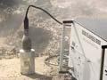
From page 4 - Mapping, volcanoes and geophysics: 1900–1965


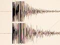
From page 5 - Studying the sea floor and earthquakes
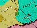
From page 6 - Plate tectonics and other advances


How to cite this page
Simon Nathan, Geological exploration, Te Ara – the Encyclopedia of New Zealand, https://teara.govt.nz/en/story/10585/media (accessed 14 July 2026).
Story by Simon Nathan, published 2 March 2009.