Image
In earliest Tertiary time (65–50 million years ago) tectonic activity slowed down over much of New Zealand. Erosion and chemical weathering in a warm climate reduced the land to an almost flat surface – a peneplain – recently named the Waipounamu erosion surface.
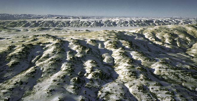
The surface was later covered by younger sediments, but in many parts of Central Otago they have been stripped off by erosion. This photograph, taken near Poolburn, shows a small part of the exhumed peneplain surface.
Te whakamahi i tēnei tūemi
Reference: CN3635
by Lloyd Homer
Permission of GNS Science must be obtained before any use of this image.