Image
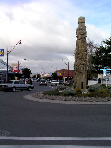
This view shows Church Street at its junction with Elliot Street. The impressive pou (carved post) depicts a variety of activities from the 19th-century settlement of the district, including agriculture, horticulture and trading.
Te whakamahi i tēnei tūemi
Te Ara - The Encyclopedia of New Zealand
by Shirley Williams
This item has been provided for private study purposes (such as school projects, family and local history research) and any published reproduction (print or electronic) may infringe copyright law. It is the responsibility of the user of any material to obtain clearance from the copyright holder.
Comments
27 September 2011