Image
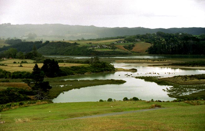
Over the last 150 years, Auckland’s Mangemangeroa estuary has been rapidly filled with sediments from the surrounding hillsides. Mangrove shrubs, shown here as a fringe between the land and sea, colonise the intertidal muds. In this estuary the area covered by mangroves increased by 50% between 1955 and 2000.
Te whakamahi i tēnei tūemi
Te Ara - The Encyclopedia of New Zealand
by Leanne Tamaki
This item has been provided for private study purposes (such as school projects, family and local history research) and any published reproduction (print or electronic) may infringe copyright law. It is the responsibility of the user of any material to obtain clearance from the copyright holder.