Kōrero: Stewart Island/Rakiura

Ruapuke Island

Ruapuke Island

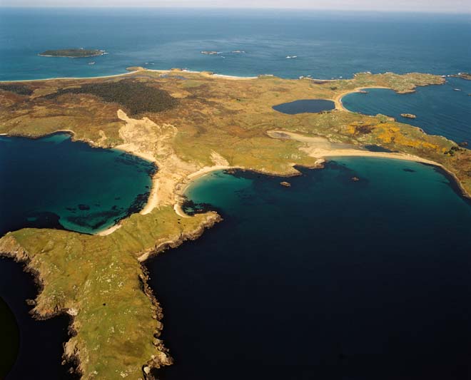
Ruapuke Island’s flat and deforested terrain is evident in this aerial photo, taken looking roughly north-east, with Lagoon Bay in the foreground and Henrietta Bay at top right, flanked by West Point and South Point (the furthest of the two).

Te whakamahi i tēnei tūemi

GNS Science
Reference: 43771/7 H
Photograph by Lloyd Homer

Permission of GNS Science must be obtained before any use of this image.

Ngā whakaahua me ngā rauemi katoa o tēnei kōrero

Te tuhi tohutoro mō tēnei whārangi:

Carl Walrond, 'Stewart Island/Rakiura - Stewart Island places: east and south', Te Ara - the Encyclopedia of New Zealand, http://www.TeAra.govt.nz/mi/photograph/37651/ruapuke-island (accessed 26 April 2024)

He kōrero nā Carl Walrond, updated 1 May 2015