Image
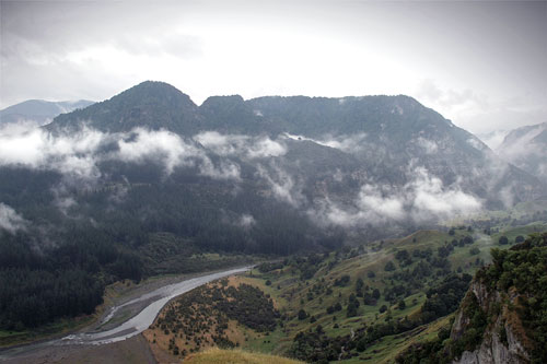
Māori resistance leader Te Kooti sheltered in the upper Mōhaka area in 1871–72. He spent time on the Tataraakina peak at the junction of the Te Hoe and Mōhaka rivers (pictured above), which is also known as ‘Te Kooti’s Lookout’.
Te whakamahi i tēnei tūemi
by Nick Herb
This item has been provided for private study purposes (such as school projects, family and local history research) and any published reproduction (print or electronic) may infringe copyright law. It is the responsibility of the user of any material to obtain clearance from the copyright holder.