Image
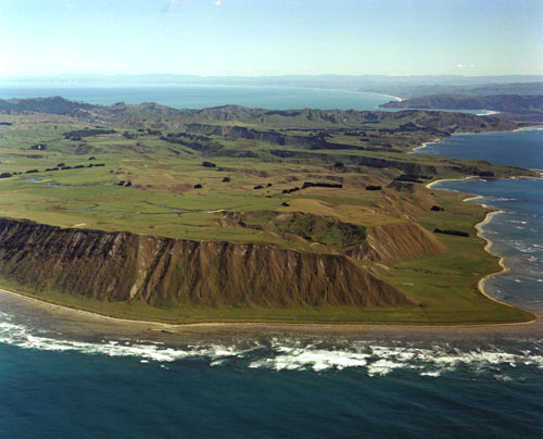
During the 1820s Hawke’s Bay was invaded from the north and west by tribes armed with muskets. Local people fled to Māhia Peninsula, leaving much of the central and southern districts empty until the late 1830s. Fortified pā on Māhia Peninsula, such as Maungakāhia near Table Cape (also known as Kahutara Point), became places of refuge until it was safe to return home.
Te whakamahi i tēnei tūemi
Reference: 1590/16
by Lloyd Homer
Permission of GNS Science must be obtained before any use of this image.