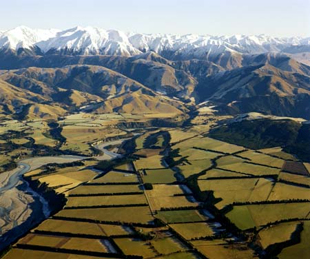
The New Zealand Forest Service established the Forest and Range Experimental Station in 1956, in the Craigieburn Range (the snow-covered mountains pictured here) in Canterbury. At that time there was concern that erosion rates in the high country had been increased by feral deer browsing and defoliating the mountains. Research concentrated on understanding erosion processes and identifying suitable plant species to colonise and stabilize steep, eroded slopes. Contemporary thinking is that much of the erosion in the high country is actually natural.
Te whakamahi i tēnei tūemi
GNS Science
Reference:
3562/11
Photograph by Lloyd Homer
Permission of GNS Science must be obtained before any use of this image.


Tāpiritia te tākupu hou