Image
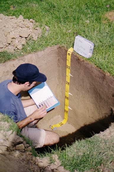
Road cuttings often provide a chance to examine a soil profile. Where they are not available, then a pit must be dug in order to observe and record soil details. Ideally, the pit should be large enough to sit in so that soil colours and depths can be accurately recorded.
Te whakamahi i tēnei tūemi
Landcare Research – Manaaki Whenua
© Copyright image. All rights reserved. Permission from Manaaki Whenua: Landcare Research New Zealand Limited must be obtained before the re-use of this image.