Image
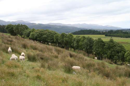
This view of the Hunters Hills looks north-west near Waimate. So named because they were a favourite hunting ground of the Māori leader Te Huruhuru, the hills separate the coastal downlands from the Hakataramea and Upper Waihao valleys.
Te whakamahi i tēnei tūemi
Te Ara - The Encyclopedia of New Zealand
by Jock Phillips
This item has been provided for private study purposes (such as school projects, family and local history research) and any published reproduction (print or electronic) may infringe copyright law. It is the responsibility of the user of any material to obtain clearance from the copyright holder.
Comments
01 August 2024