Image
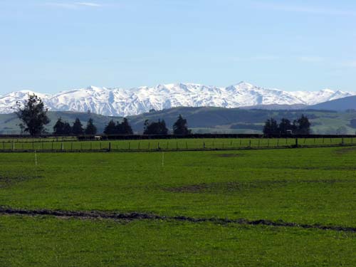
Behind the Tengawai River valley, near Pleasant Point, lie the snow-capped peaks of the Hunters Hills. They are part of the interior ranges that separate the Mackenzie Basin from the coastal downlands and plains.
Te whakamahi i tēnei tūemi
Te Ara - The Encyclopedia of New Zealand
by Shirley Williams
This item has been provided for private study purposes (such as school projects, family and local history research) and any published reproduction (print or electronic) may infringe copyright law. It is the responsibility of the user of any material to obtain clearance from the copyright holder.