Image
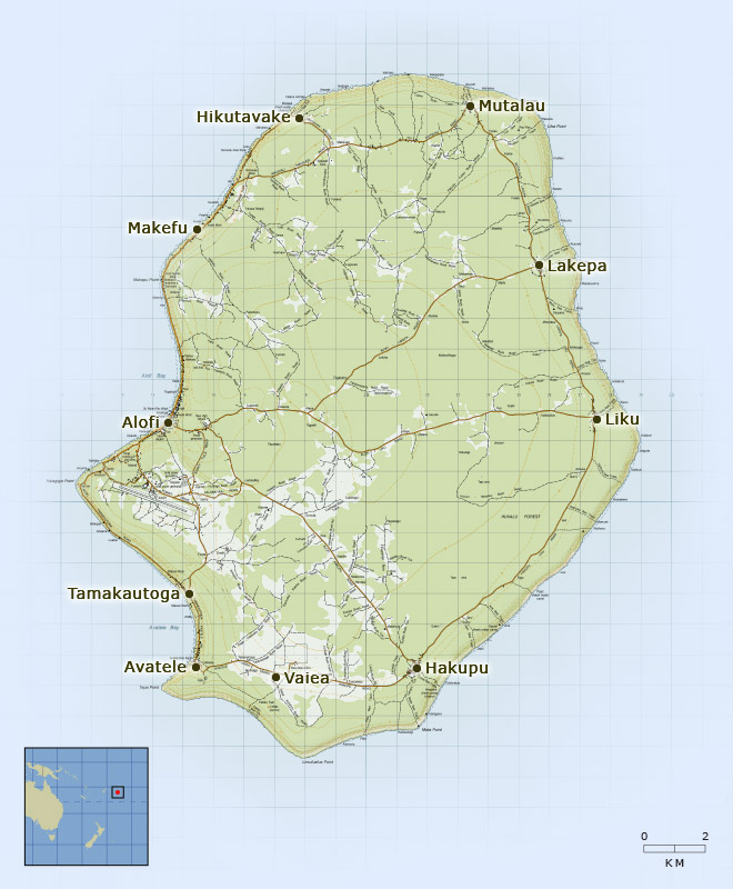
Niue, known as ‘the rock’, lies 2,400 km north-east of New Zealand’s Cape Rēinga. At 259 square kilometres, and with a high point of 68 metres above sea level, it is one of the world’s largest uplifted atolls.
Te whakamahi i tēnei tūemi
Reference: Modified from PITopo50- P104
This item has been provided for private study purposes (such as school projects, family and local history research) and any published reproduction (print or electronic) may infringe copyright law. It is the responsibility of the user of any material to obtain clearance from the copyright holder.