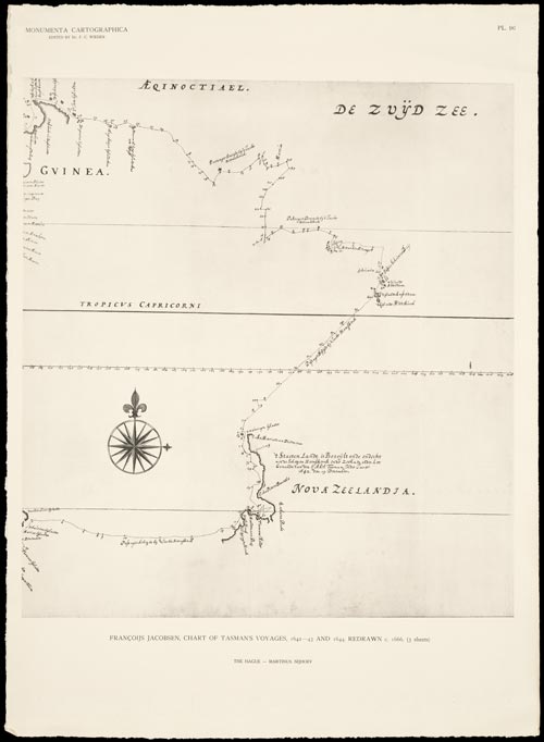
This is a copy of Frans Visscher’s chart of the discoveries made by Abel Tasman during his 1642–43 and 1644 voyages. The west coast of New Zealand is shown at the bottom. Unlike Tasman’s map, which showed Cook Strait as a bay, Visscher’s shows a gap, suggesting the presence of a passage.
Te whakamahi i tēnei tūemi
National Library of New Zealand, General Lending Collection
Reference:
B-K 741-96
Permission of the National Library of New Zealand, Te Puna Mātauranga o Aotearoa, must be obtained before any re-use of this image.


Tāpiritia te tākupu hou