-
1853-1876

-
1876-1989

-
1989-2010
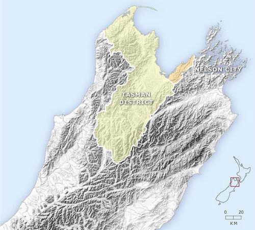
Nelson province was constituted in 1853 and covered the entire upper South Island, including what are now Marlborough, Buller and parts of north Canterbury. Marlborough seceded in 1859. On account of its cathedral, Nelson was designated a city in 1858, even though its population was only a few thousand. In 1876 the province was abolished and Waimea and Collingwood counties were constituted. Closer settlement saw Richmond and Motueka boroughs (towns) and Murchison and Takaka counties formed around the turn of the 20th century. Both new counties were merged into larger entities 50 years later. Tasman district, including Richmond, Motueka and all the rural areas of the region, was formed in 1989.
Te whakamahi i tēnei tūemi
Te Ara - The Encyclopedia of New Zealand
This item has been provided for private study purposes (such as school projects, family and local history research) and any published reproduction (print or electronic) may infringe copyright law. It is the responsibility of the user of any material to obtain clearance from the copyright holder.